Geospatial Technology
Introduction:
Intro 1:
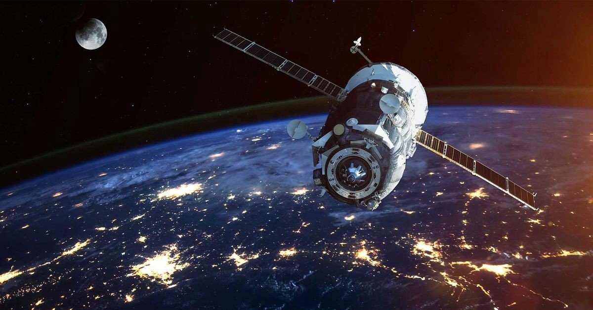
Geospatial technology is essentially a set of tools that help us understand and interact with the world around us through the lens of location. It combines a bunch of different technologies to gather, analyze, and visualize data that has a geographic component, meaning it's linked to a specific place on Earth.
Intro 2:
Geospatial technology refers to the range of tools and techniques used to gather, store, process, and analyze geographic information and spatial data. These technologies are essential for understanding and managing the spatial aspects of the Earth's surface and are widely used in various fields, including geography, urban planning, environmental science, and navigation.
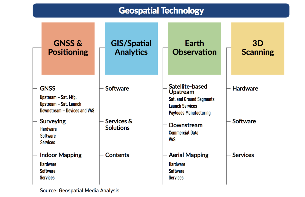
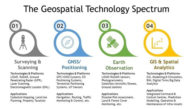
Includes: GIS (Geographic Information System), RS (Remote Sensing), and GPS (Global Positioning System)
Applications:
1. Disaster Risk Reduction and Resilience
2. Social Development
a. Land Record and Inheritance
b. Satellite based fishing
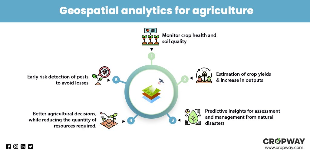
c. Precision Agriculture
d. Crop Monitoring
3. Energy: Suitability of Location (Solar)
4. Connectivity: Road Asset Management System
5. Natural Resource Management
6. Informed Decision Making
Challenges in Effective Use
1. Technological & Infrastructural Challenges
a. Lack of Supercomputing and Quantum Computing
2. Limited Accessibility of Space Derived Data
a. Private Sector and Individuals
3. Digital Technological Divide
4. Lack of Data Privacy Law
GIS Based Initiatives
1. Natural Resource Information System (NRIS)
2. National Spatial Data Infrastructure (NSDI)
3. National Urban Information System (NUIS)
Way Forward:
1. Invest in national experts
2. Integrate Ground and Space Data
3. Ensure Privacy, Safety and Ethics of Data
4. Provide Open Data Access
5. Collaborate across local and international levels
Author: Arjun Kr. Paul, Faculty
Comments (0)
Categories
Recent posts

Q5/ Section B, APSC Mains 2024 Essay - ...
29 Jul 2024
Satellite Town
21 Jul 2024
Q 1/Section A, APSC Mains 2024 Essay - ...
29 Jul 2024